
Gunung Walat, Sukabumi – Ecological Social Mapping (ESM) FMSC Dept. Forest Management, Faculty of Forestry of IPB took place on August 9-13, 2011 in the Gunung Walat University Forest (GWUF), Sukabumi.
The ESM was a scientific expedition for interaction mapping between the benefits of forests and the surrounding communities. This interaction mapping is summarized in 4 scientific disciplines in the Forest Management Department, that is the Study Group (SG) of Planning, Utilization SG, Social Economics SG, Hydrology SG, and Watershed SG. This ESM was the first time conducted as an annual work program by the Forest Management Student Club (FMSC).
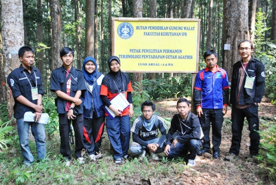
Before the activity was held in GWUF, on the morning of August 9, 2011, a ceremonial event was held in front of the Faculty of Agriculture Building Office which was attended by the Head of Departement, Dr . Didik Suharjito; all SG supervisors, Dr. Teddy Rusolono, Dr. Tatang Tiryana, Priyanto, M.Sc; Ir. Budi Prihanto, MS (Executive Director of GWUF); Soni Trison, M.Si (FMSC supervisor) and; Gina Maria (Chairwoman of FMSC). The event was attended by all students who would be involved in ESM, consisted of 50 participants who were 45th & 46th batch students.
The first location chosen was GWUF because GWUF was considered as “our own home” because those who managed were the Faculty of Forestry of IPB and as a place to observe community interaction and forests to improve the knowledge.
“The aims of this ESM are to find out the socio-economic conditions of the communities around GWUF, to know the benefits received by communities around GWUF forests, and to make a map of interaction of benefits between communities and the forests” said Hikmat Megandana as the Committee Chairman of ESM and a 45th batch student of Forest Management Department.
The activities were started on 9-13 August 2011 as the field verification in GWUF and on 14 August – 11 September 2011 for secondary data analysis and analysis of field verification results which will produce output in the form of maps.
Each study group during in the GWUF were a. Planning SG to map pal boundaries and borderline reconstruction and sub-forest blocks; b. Utilization SG that observing timber and non-timber forest products laboratory, medicinal plants, natural recreation, and ecotourism; c. Socioeconomics SG conducted interviews and field observations in 4 villages around the GWUF area (Hegarmanah Village) and made mapping sketches for the 4 villages; d. Hydrology and Watershed SG that do mapping the flow of rivers into Hegarmanah Village, identification of river flows such as pH, discharge, length of water pipes, etc.
The results of these ESM activities will be published in a book and also distributed to students and lecturers. The initial conclusion that can be obtained during the activities is that water is the biggest benefits that are felt by the surrounding community with the presence of forests.
[hap]
Photo gallery click here
Download news click here